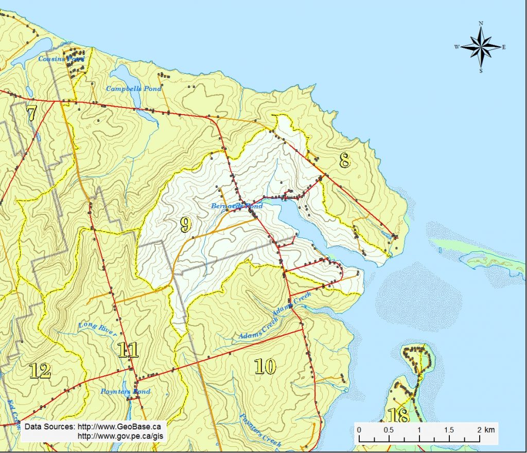
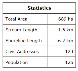
This watershed is situated in the southern third of Park Corner northern quarter of Springbrook. The highest elevation of 74 m is found on the northwest side of the Howatt Rd (Rte 263). The land generally slopes eastward to New London Bay.
French River is a short system that starts south of the Howatt Rd (Rte 263) near Springbrook. About 1.6 km long, it flows eastward, drains into Howatts Pond, under the Bernard Rd, and into Bernards Pond, also known locally as the Government Pond. It then flows under Rte 20 and River Rd (Rte 263) before entering a 2.1 km long estuary oriented to the southeast and finally drains into New London Bay. The French River estuary covers about 40 ha.


